Academic Project
Aqua Axis
Buoyant Future
- Year
- June 2024
- Classification
- Academic Project
- Status
- Graduation project
- Location
- Old Pier 48, Manhattan, New York, USA
- Designer
- Gökalp Kalfa
Why?
Global warming and climate change are among the greatest threats of our time, particularly endangering the living spaces and infrastructure of millions residing in coastal cities. According to reports by the Intergovernmental Panel on Climate Change (IPCC), sea levels rose by an average of 15-20 cm during the 20th century alone, and this rate is accelerating due to rising temperatures and the melting of glaciers. Although the United Nations' 2030 Sustainable Development Goals set a target of limiting global temperature rise to 2 degrees Celsius, this target merely aims to stabilize the increase rather than reverse it, let alone achieve a negative trend in global temperatures. This reveals how insufficient the current measures are and underscores the need for much more comprehensive actions.
If this issue is not addressed, sea levels are projected to rise from their current -1.5-meter level to 2.5 meters in just 75 years, and to a staggering 13.50 meters within 224 years. Such a dramatic rise poses a significant threat not only to living spaces but also to cultural and historical heritage, potentially submerging vast areas. These projections are based on analyses of historical sea level increases and the accelerating rate of this rise, calculated using scientific multipliers. Notably, the Industrial Revolution of the late 19th century, marked by the intensive use of fossil fuels, drastically increased atmospheric carbon dioxide (CO2) levels, accelerating thermal expansion in oceans and the melting of polar ice caps. Data from the National Oceanic and Atmospheric Administration (NOAA) corroborates this trend, emphasizing that without necessary interventions, densely populated coastal regions will face severe risks.
Where?
Old Pier 48 in Manhattan, New York, has been selected as the ideal location for this project. Historically, this area was filled with special piers that played a crucial role in maritime trade. However, with the advent of large-scale maritime trade and the shift to container ships, these piers became obsolete and fell out of use. The New York City government has aimed to repurpose these abandoned areas by placing them in the hands of architects to create new public spaces for residents and tourists. Old Pier 48, currently existing as one of the last piers with only its abandoned columns, is perfectly suited for the project's needs due to its land and water components. This area will gain significance by taking on the mission of raising awareness about climate change.
How?
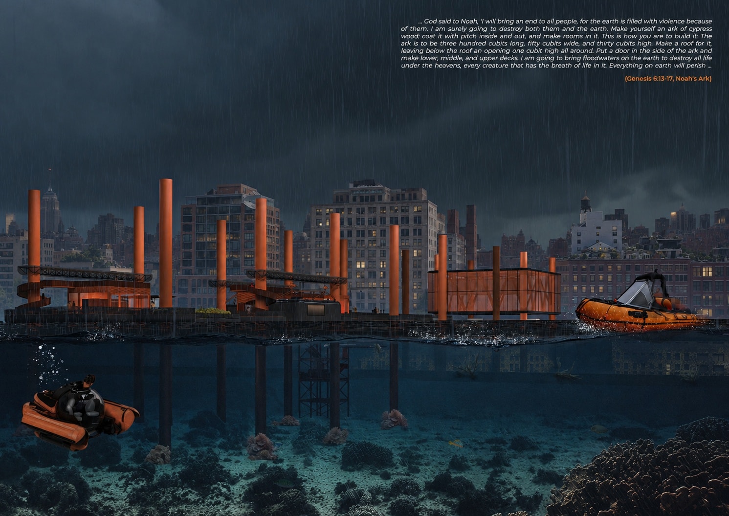
The project develops in three main phases, each encompassing scenarios with different water levels. The first phase represents the current condition at an elevation of -1.5 meters. In this stage, the pier is designed as a floating structure, hosting various exhibitions and events to raise awareness. Behind the pier, a low-rise four-story structure houses an adaptation center and research and development (R&D) functions, suspended on columns. The roof of this four-story building serves as a café, creating both a social area and an attraction for visitors. This also emphasizes the need to move social spaces to the roof in the future when rising waters submerge the ground-floor cafés and restaurants.
The second phase addresses the point where the water level rises to 2.5 meters, rendering the roads unusable. In this stage, the R&D modules from the adaptation center are relocated to the pier, transforming it into a research and development center. Following the separation of R&D functions, the adaptation center continues to operate as a climate change adaptation and coordination center.
The third phase represents the scenario where the water level reaches 13.5 meters, submerging many buildings. In this stage, the modular structures produced on the pier have spread to various parts of the city, providing new solutions. The adaptation center continues to function as a climate change adaptation and coordination center, maintaining its connection with the social area on the rooftop. Throughout the project, the goal is to develop innovative and sustainable solutions to the challenges posed by rising water levels, adapting to changing environmental conditions at each phase.